Northern Xinjiang Tour: Ili, Sayram Lake, Nalati, and the Grassland Sequence
Northern Xinjiang Is Not a Single Destination
Northern Xinjiang is a travel region, not a city or a single park. It refers to the area north of the Tianshan mountain range that separates northern and southern Xinjiang. Within that broad region, the itinerary that most private travel operators build around is the Ili River valley and the three sites that anchor it: Sayram Lake, the Nalati Grassland, and the Guozigou bridge approach. This is the sequence most visitors to northern Xinjiang are actually traveling, and it has a geography that determines the direction you should travel through it.
The three-site northern Xinjiang sequence is:
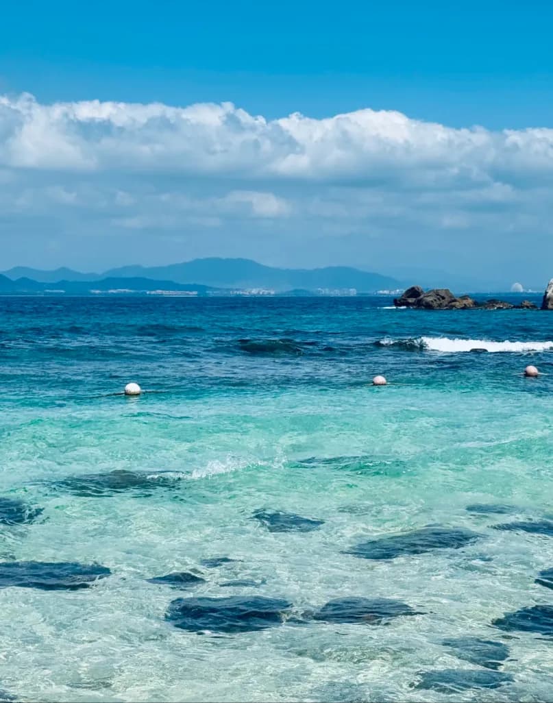
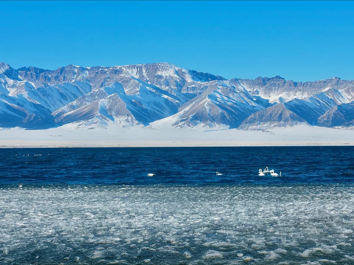
- Sayram Lake — a high-altitude alpine lake at 1,800 meters on the northern slopes of the Tianshan. Known for the color of the water, which shifts from blue to turquoise depending on depth and light, and for the Siberian-style wind that makes the lakeside walk cold even in summer.
- Nalati Grassland — one of the four largest grasslands in Xinjiang, at 1,800–2,200 meters elevation in the Ili River valley. Open June through September, with July and August offering the densest grass coverage. The grassland is accessible by horseback, by buggy, or on foot along marked trails.
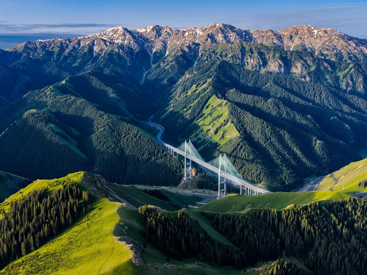
- Guozigou Bridge — a modern cable-stayed bridge on the expressway between Yining and the Dushanzi–Korla highway. Not a tourist site, but the viewpoint just before the bridge on the Yining approach is one of the most photographed landscapes in northern Xinjiang, combining the bridge structure with the valley below and the Tianshan peaks behind.
The Ili River valley extends west toward the border with Kazakhstan, where the city of Yining serves as the western base for the region. Yining is not a tourist destination in itself, but it is the practical transit point for the border markets and the last major city before the road west.
The Direction You Enter Determines the Pacing
Northern Xinjiang is most commonly entered from Urumqi, the regional capital and the primary arrival point for flights from Beijing, Shanghai, and other major Chinese cities. The drive from Urumqi to Sayram Lake is approximately 550 kilometers and takes six to seven hours by private vehicle. The Ili valley sites are three to four hours beyond Sayram Lake. This means a Urumqi arrival day is consumed by the drive to Sayram Lake, with little daylight remaining for the lake itself.
The practical solution is to fly into Urumqi and take a one-hour flight to Yining (YIN), then drive east through the valley toward Sayram Lake and back toward Urumqi. This reverses the typical overland approach and gives you:
- Day 1: Arrive Yining by flight from Urumqi, evening in Yining
- Day 2: Drive east through Guozigou to Sayram Lake, full afternoon at the lake, continue to Nalati (2 hours from Sayram Lake)
- Day 3: Nalati Grassland full day
- Day 4: Drive back toward Yining, optional afternoon market or old town visit before departure
The alternative—driving from Urumqi west to Sayram Lake, then west to Nalati, then back to Yining—creates a long first day with the drive consuming most of the daylight. If you are flying into Yining rather than Urumqi, ask your operator to plan from west to east.
The Grassland Sequence: Nalati vs. Kalajun
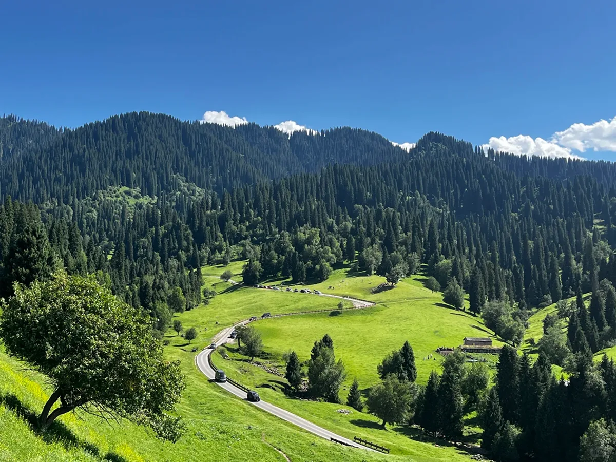
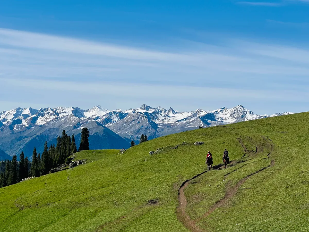
The Nalati Grassland is the most developed and most visited of the Ili valley grasslands. It has the most established tourist infrastructure—visitor center, horseback riding operations, guesthouse accommodation inside the park, paved walking trails. For visitors who want comfort and convenience, Nalati is the practical choice.
The Kalajun Grassland is less developed and less visited, located in a different valley 150 kilometers east of Nalati. Kalajun is wider and more open than Nalati, with a different grass character and fewer tourist facilities. It is a better choice for visitors who want the grassland experience without the crowds, at the cost of less infrastructure.
Do not attempt to visit both grasslands in a single day. The distance between them plus the time required for a proper visit at either one means that choosing one and spending a full day there is better than splitting the day between the two.
Sayram Lake at the Right Time of Day
Sayram Lake is most beautiful in the early morning and at sunset. The wind that gives the lake its character also makes midday visits less pleasant than the morning window, and the afternoon light on the Tianshan peaks to the north is better than the midday light for photography.
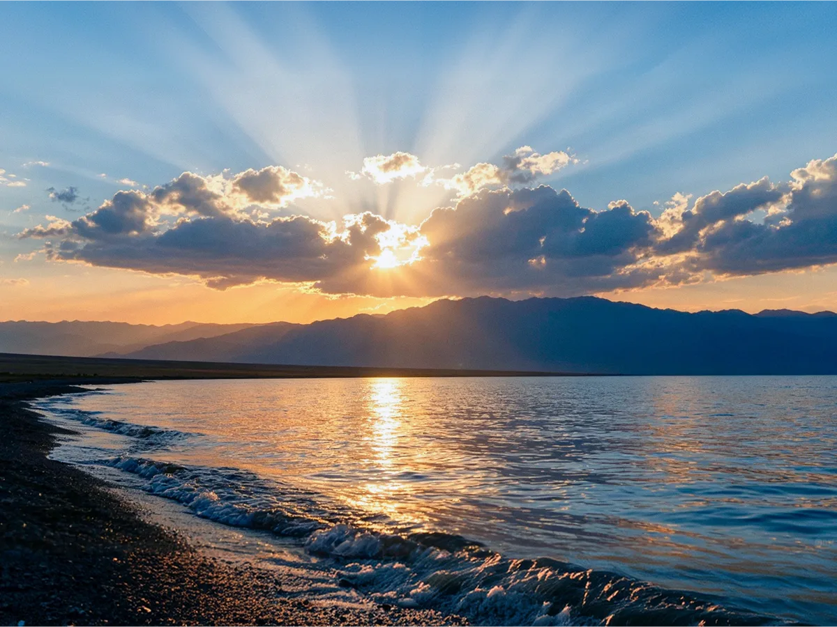
If you are driving east to west (Yining to Urumqi), plan Sayram Lake as your afternoon arrival, stay at one of the guesthouses near the lake for the sunset and early morning, then drive to Nalati the following morning. If you are driving west to east (Urumqi to Yining), plan Sayram Lake as your morning stop on the second day, before the wind picks up, then continue to Nalati by afternoon.
The lakeside road is 90 kilometers of surfaced road around the perimeter. It takes 2–3 hours to drive around at a tourist pace, with stopping points at the main viewpoints. The eastern shore has the best mountain backdrop; the southern shore is more exposed to wind. Adjust your stopping points accordingly.
What Is Not in This Itinerary
Northern Xinjiang in this context does not include Kanas Lake , which is in the Altay region in the far north of Xinjiang, approximately 700 kilometers from Yining. Kanas is a full additional itinerary—typically two to three days from Urumqi—and adding it to the Ili valley sequence requires either a return flight from Yining to Urumqi followed by a separate road trip north, or a significant extension of total travel days. If your itinerary includes Kanas and the Ili valley, budget accordingly and treat them as separate segments.
Northern Xinjiang also does not include the Karakoram Highway route toward Pakistan, which runs south from Kashgar. That is a different region and a different itinerary.
The Duku Highway connects Urumqi to Korla through the Tianshan range and offers a high-altitude crossing that is spectacular but weather-dependent (usually open May through October only). If your travel dates fall in the open window and you have the extra days, it is worth considering as part of the approach or exit from northern Xinjiang—but it is not part of the standard Ili valley sequence.
What TravelToQin can help with: We plan northern Xinjiang as a private ground itinerary with the direction of travel determined by your arrival city, your total travel days, and the season. We coordinate the Yining flights, the guesthouse bookings (which are limited in peak season), and the vehicle logistics for the valley roads. We will tell you whether your total trip length supports Kanas as an addition and whether the Duku Highway window is open for your dates.
Verify before you go: The Duku Highway weather closures and opening dates are confirmed through Xinjiang highway authority channels. Grassland peak coverage dates vary by year; July is the most reliable for Nalati. Guesthouse availability in the Sayram Lake and Nalati areas books out early in peak season—three to four weeks in advance for July and August.